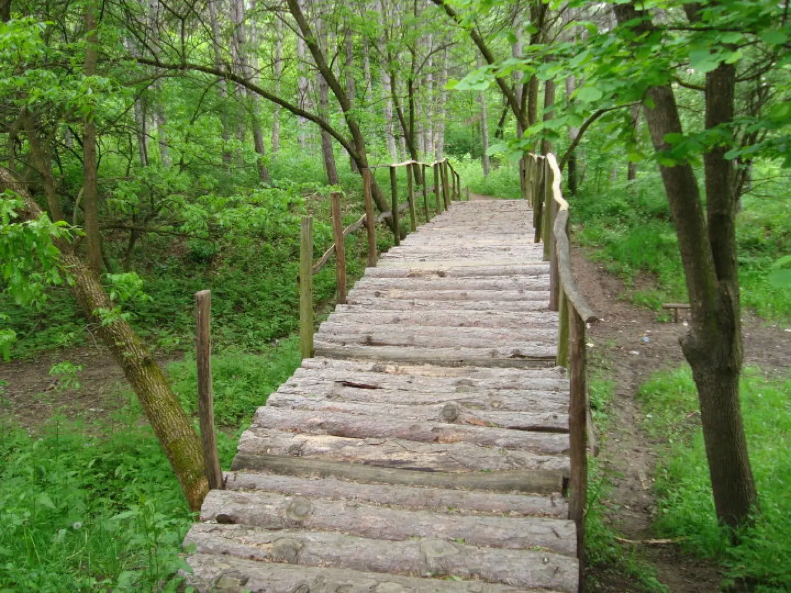
Kraljevica Hill
400 hectares of park forest south of town – recreation area, sports hub and festival ground in one.
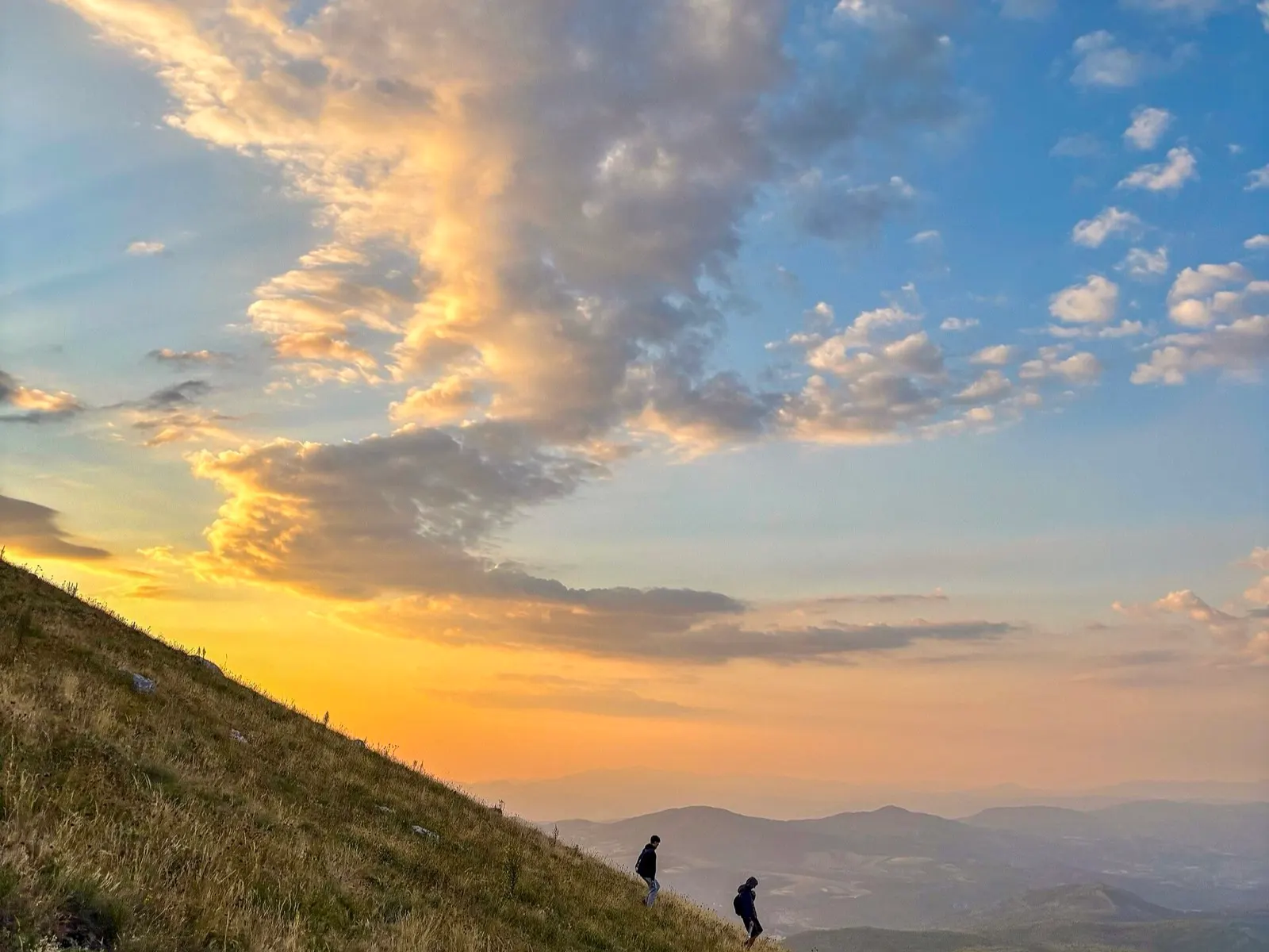
Boljevac and Rtanj
Eastern Serbia's pyramid mountain: 1,565 metres, a near-perfect cone, legends included.
Rtanj lies around 200 kilometres south-east of Belgrade, between Boljevac to the north and Sokobanja to the south, in the Serbian section of the Carpathians. What stands out is the almost perfect cone of its summit, the 1,565-metre Šiljak – a karst phenomenon that earned the mountain its reputation as “Serbia's pyramid”.
The northern flank is covered in forest and scrub, rich in native plant species and springs of drinkable water. A hunting ground of 6,368 hectares lies on the mountain, mainly for roe deer and wild boar.
In the nineteenth century the entrepreneur Julijus Minh founded a mine here. In 1932 his widow Greta Minh had a mausoleum built on the Šiljak summit in the form of a small chapel dedicated to St George; around a thousand miners worked on it. After the Second World War the new authorities demolished the dome and its cross in 1946, and in the following decades treasure hunters chasing folk tales of gold hidden inside the mountain repeatedly damaged what remained with dynamite.
The hotel map goes live as soon as the Stay22 property ID for zajecar.eu is in place. Until then the editorial recommendations below cover the options.
400 hectares of park forest south of town – recreation area, sports hub and festival ground in one.
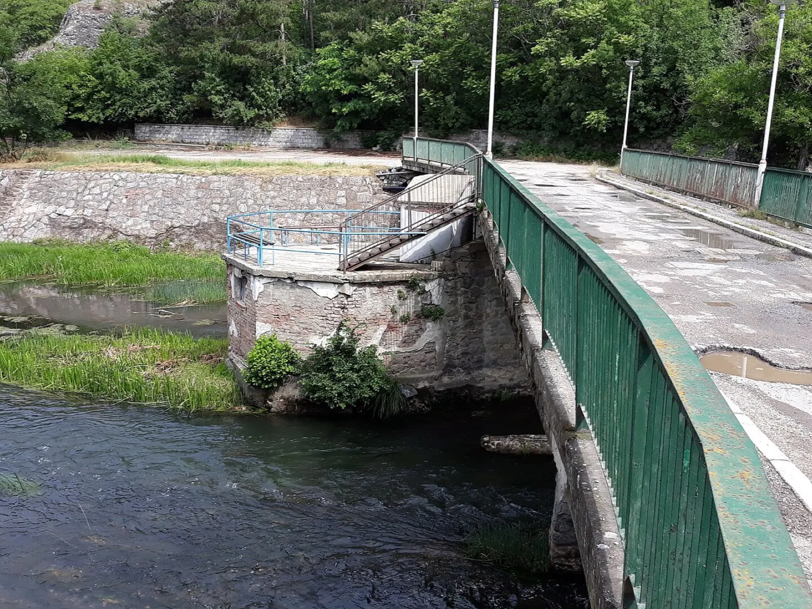
A thermal spa in the Crni Timok valley, eleven kilometres west of town – one of Serbia's oldest.

A 110-hectare reservoir and the town's drinking water supply – fishing allowed, boats not.